
Montalvos topographic map
Interactive map
Click on the map to display elevation.
About this map
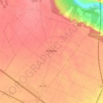
Name: Montalvos topographic map, elevation, terrain.
Location: Montalvos, Albacete, Castilla-La Mancha, España (39.13670 -2.06620 39.19650 -1.98259)
Average elevation: 705 m
Minimum elevation: 647 m
Maximum elevation: 720 m