
Leiva topographic map
Interactive map
Click on the map to display elevation.
About this map
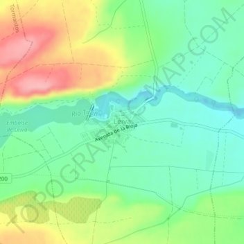
Name: Leiva topographic map, elevation, terrain.
Location: Leiva, La Rioja, 26087, Espagne (42.50031 -3.05275 42.50533 -3.04259)
Average elevation: 609 m
Minimum elevation: 564 m
Maximum elevation: 683 m