
Perwez topographic map
Interactive map
Click on the map to display elevation.
About this map
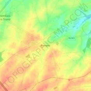
Name: Perwez topographic map, elevation, terrain.
Location: Perwez, Nivelles, Brabant wallon, Wallonie, 1360, Belgique (50.60345 4.79347 50.64345 4.83347)
Average elevation: 152 m
Minimum elevation: 126 m
Maximum elevation: 169 m