
Boppard topographic map
Interactive map
Click on the map to display elevation.
About this map
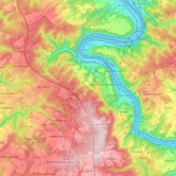
Name: Boppard topographic map, elevation, terrain.
Average elevation: 307 m
Minimum elevation: 67 m
Maximum elevation: 532 m
Die Fleckertshöhe ist mit 531 m ü. NN die höchste Erhebung im Stadtgebiet.