
Chassepierre topographic map
Interactive map
Click on the map to display elevation.
About this map
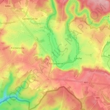
Name: Chassepierre topographic map, elevation, terrain.
Location: Chassepierre, Florenville, Virton, Luxemburg, Wallonië, België (49.68537 5.22938 49.73797 5.30827)
Average elevation: 322 m
Minimum elevation: 231 m
Maximum elevation: 386 m