
邓庄镇 topographic map
Interactive map
Click on the map to display elevation.
About this map
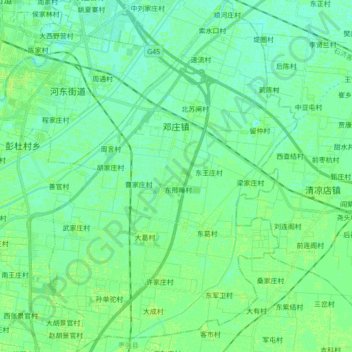
Name: 邓庄镇 topographic map, elevation, terrain.
Location: 邓庄镇, 桃城区, 衡水市, 河北省, 053000, 中国 (37.61779 115.71936 37.75658 115.84338)
Average elevation: 22 m
Minimum elevation: 18 m
Maximum elevation: 26 m
Other topographic maps
Click on a map to view its topography, its elevation and its terrain.