
Elephant Park topographic map
Interactive map
Click on the map to display elevation.
About this map
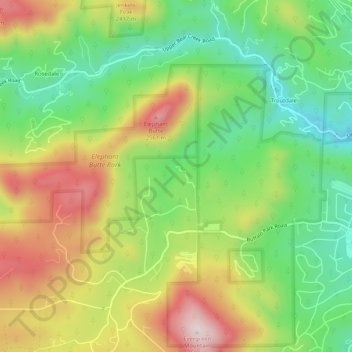
Name: Elephant Park topographic map, elevation, terrain.
Location: Elephant Park, Jefferson County, Colorado, 80437, VS (39.60828 -105.38398 39.64828 -105.34398)
Average elevation: 2,351 m
Minimum elevation: 2,164 m
Maximum elevation: 2,596 m