
Ouder-Amstel topographic map
Interactive map
Click on the map to display elevation.
About this map
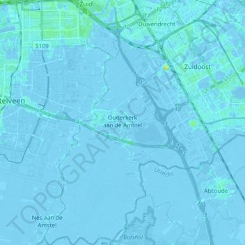
Name: Ouder-Amstel topographic map, elevation, terrain.
Location: Ouder-Amstel, Hollande-Septentrionale, Pays-Bas (52.25074 4.87012 52.33864 4.95524)
Average elevation: -1 m
Minimum elevation: -8 m
Maximum elevation: 19 m