
Castrelos topographic map
Interactive map
Click on the map to display elevation.
About this map
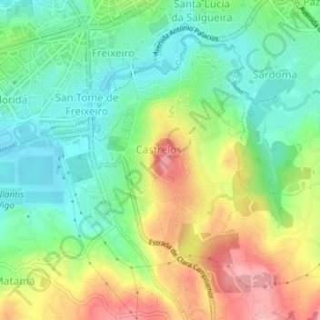
Name: Castrelos topographic map, elevation, terrain.
Location: Castrelos, Vigo, Pontevedra, Galice, Espagne (42.19626 -8.73797 42.22260 -8.71404)
Average elevation: 60 m
Minimum elevation: 8 m
Maximum elevation: 140 m