
Villa Ada topographic map
Interactive map
Click on the map to display elevation.
About this map
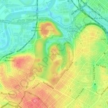
Name: Villa Ada topographic map, elevation, terrain.
Location: Villa Ada, Municipio Roma II, Rome, RM, Lazio, Italy (41.92277 12.49260 41.94044 12.50911)
Average elevation: 44 m
Minimum elevation: 8 m
Maximum elevation: 84 m
Other topographic maps
Click on a map to view its topography, its elevation and its terrain.
Municipio Roma II
Municipio Roma II, Rome, RM, Lazio, Italy
Average elevation: 43 m