
La Variante topographic map
Interactive map
Click on the map to display elevation.
About this map
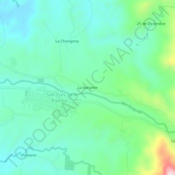
Name: La Variante topographic map, elevation, terrain.
Location: La Variante, San Luis de Pambil, Guaranda, Bolívar, Ecuador (-1.25128 -79.25288 -1.21128 -79.21288)
Average elevation: 314 m
Minimum elevation: 213 m
Maximum elevation: 649 m