
Stoneville topographic map
Interactive map
Click on the map to display elevation.
About this map
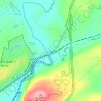
Name: Stoneville topographic map, elevation, terrain.
Location: Stoneville, Rockingham County, North Carolina, United States (36.43923 -79.93755 36.43977 -79.93687)
Average elevation: 223 m
Minimum elevation: 181 m
Maximum elevation: 304 m
Other topographic maps
Click on a map to view its topography, its elevation and its terrain.