Geolocate

Bossico topographic map

Click on the map to display elevation.

About this map
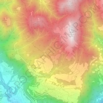
Name: Bossico topographic map, elevation, terrain.

Location: Bossico, Bergamo, Lombardy, Italy (45.82306 10.03049 45.86204 10.06374)

Average elevation: 941 m

Minimum elevation: 326 m

Maximum elevation: 1,429 m

Other topographic maps

Click on a map to view its topography, its elevation and its terrain.

Xino

Italy > Lombardy > Bergamo > Fonteno

Average elevation: 512 m

Gear up for your next adventure:

🆘Personal Locator Beacons (PLB) - Satellite emergency beacons for life-saving help in areas with no mobile coverage
🪫Rechargeable Headlamps - USB rechargeable headlamps
🔦Headlamps - Hands-free lighting for hiking
⌚Altimeter Barometer Watches - Outdoor watches with built-in sensors to track altitude changes and weather shifts
🥾Hiking Boots - Durable hiking boots for trails and rough terrain

As an Amazon Associate, this site earns from qualifying purchases at no extra cost to you.