
Cans topographic map
Interactive map
Click on the map to display elevation.
About this map
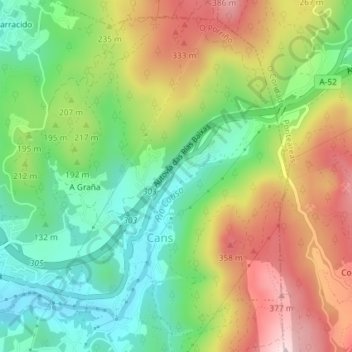
Name: Cans topographic map, elevation, terrain.
Location: Cans, O Porriño, Vigo, Pontevedra, Galicia, 36411, Spain (42.15458 -8.60569 42.17893 -8.58086)
Average elevation: 186 m
Minimum elevation: 30 m
Maximum elevation: 399 m