
Slijkplaat topographic map
Interactive map
Click on the map to display elevation.
About this map
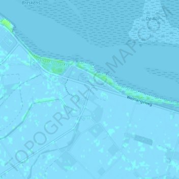
Name: Slijkplaat topographic map, elevation, terrain.
Average elevation: 0 m
Minimum elevation: -4 m
Maximum elevation: 7 m
Other topographic maps
Click on a map to view its topography, its elevation and its terrain.
Nummer Een
Nederland > Zeeland > Hoofdplaat
Nummer Een, Hoofdplaat, Sluis, Zeeland, Nederland, 4513 KS, Nederland
Average elevation: 0 m