Geolocate

Mundi topographic map

Click on the map to display elevation.

About this map

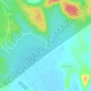
Name: Mundi topographic map, elevation, terrain.

Location: Mundi, Damoh Tahsil, Damoh District, Madhya Pradesh, India (23.70043 79.47734 23.72307 79.49067)

Average elevation: 364 m

Minimum elevation: 343 m

Maximum elevation: 422 m

Gear up for your next adventure:

👟Lightweight Trail Runners - Agile footwear for fast movement over rugged Australian terrain
Altimeter Barometer Watches - Outdoor watches with built-in sensors to track altitude changes and weather shifts
🕶️Polarized Sunglasses - UV protection sunglasses for outdoors
🧺Waterproof Dry Sacks - Organize your pack and keep electronics safe from rain and river crossings
🔪Camping Knives - Multi-purpose outdoor knives

As an Amazon Associate, this site earns from qualifying purchases at no extra cost to you.