
Longville topographic map
Interactive map
Click on the map to display elevation.
About this map
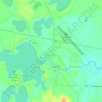
Name: Longville topographic map, elevation, terrain.
Location: Longville, Cass County, Minnesota, Verenigde Staten (46.97811 -94.23174 46.99663 -94.19306)
Average elevation: 407 m
Minimum elevation: 394 m
Maximum elevation: 435 m