
阳村乡 topographic map
Interactive map
Click on the map to display elevation.
About this map
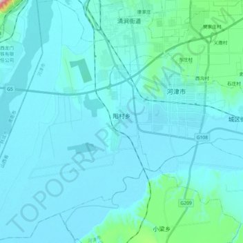
Name: 阳村乡 topographic map, elevation, terrain.
Location: 阳村乡, 河津市, 运城市, 山西省, 中国 (35.50356 110.53468 35.65088 110.68603)
Average elevation: 402 m
Minimum elevation: 366 m
Maximum elevation: 842 m
Other topographic maps
Click on a map to view its topography, its elevation and its terrain.