Geolocate

Barham topographic map

Click on the map to display elevation.

About this map

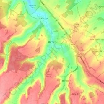
Name: Barham topographic map, elevation, terrain.

Location: Barham, Canterbury, Kent, England, United Kingdom (51.17719 1.09728 51.21975 1.19547)

Average elevation: 99 m

Minimum elevation: 35 m

Maximum elevation: 148 m

Gear up for your next adventure:

🌬️Windbreaker Jackets - Wind protection jackets
🛌Sleeping Bags - Sleeping bags for outdoor camping
🥾Hiking Gaiters - Leg protection for trails
🛰️Handheld GPS Units - Rugged GPS devices for tracking coordinates and elevation in the Australian bush
🖼️Scratch-off Australia Map - Track the regions and peaks you have explored geographically

As an Amazon Associate, this site earns from qualifying purchases at no extra cost to you.