
北牛寺村 topographic map
Interactive map
Click on the map to display elevation.
About this map
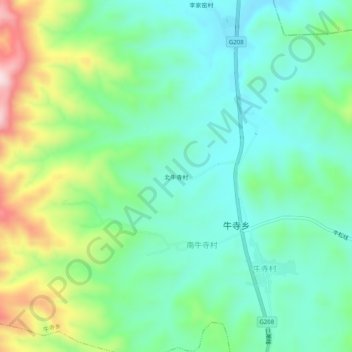
Name: 北牛寺村 topographic map, elevation, terrain.
Location: 北牛寺村, 牛寺乡, 沁县, 长治市, 山西省, 中国 (36.89439 112.58392 36.93439 112.62392)
Average elevation: 1,116 m
Minimum elevation: 1,011 m
Maximum elevation: 1,368 m
Other topographic maps
Click on a map to view its topography, its elevation and its terrain.