
Maroondah Dam topographic map
Interactive map
Click on the map to display elevation.
About this map
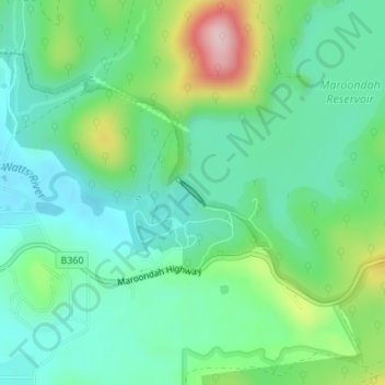
Name: Maroondah Dam topographic map, elevation, terrain.
Average elevation: 156 m
Minimum elevation: 87 m
Maximum elevation: 332 m
Other topographic maps
Click on a map to view its topography, its elevation and its terrain.
Healsville Gorge Bushland Reserve
Australia > Victoria > Melbourne > Healesville
Healsville Gorge Bushland Reserve, Coldstream, Healesville, Melbourne, Shire of Yarra Ranges, Victoria, Australia
Average elevation: 91 m