Geolocate

Hot Springs topographic map

Click on the map to display elevation.

About this map

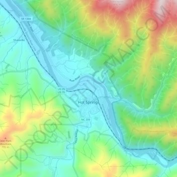
Name: Hot Springs topographic map, elevation, terrain.

Location: Hot Springs, Madison County, North Carolina, United States (35.87478 -82.85758 35.91713 -82.79899)

Average elevation: 569 m

Minimum elevation: 390 m

Maximum elevation: 963 m

Other topographic maps

Click on a map to view its topography, its elevation and its terrain.

Walnut

United States > North Carolina > Madison County

Average elevation: 599 m

Barnard

United States > North Carolina > Madison County

Average elevation: 601 m

Gear up for your next adventure:

🧼Clip-on Hand Sanitizer - Maintain hygiene when water for washing is scarce
🔋Rechargeable Batteries - Eco-friendly power for high-drain GPS units and flashlights
📕Australia Maps - Maps covering Australian regions
🧼Biodegradable Soap - Eco-friendly outdoor soap
🧊Insulated Cooler Bags - Keep food fresh for day trips to remote geographic sites

As an Amazon Associate, this site earns from qualifying purchases at no extra cost to you.