Geolocate

Tuiwa topographic map

Click on the map to display elevation.

About this map

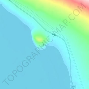
Name: Tuiwa topographic map, elevation, terrain.

Location: Tuiwa, Daglung, Nakartse County, Shannan, Tibet, China (28.54713 90.50990 28.58713 90.54990)

Average elevation: 5,039 m

Minimum elevation: 5,010 m

Maximum elevation: 5,208 m

Gear up for your next adventure:

🩹Blister Prevention Tape - Apply to friction points before they become painful sores
🕯️Emergency Whistles - Safety whistles for hiking
📷Backpack Camera Clips - Quick access to your camera while keeping your hands free for climbing
🎨Portable Watercolor Kits - Paint the landscapes and topographic views you discover
🧭Compass - Navigation compasses for outdoor exploration

As an Amazon Associate, this site earns from qualifying purchases at no extra cost to you.