
Finney topographic map
Click on the map to display elevation.
About this map
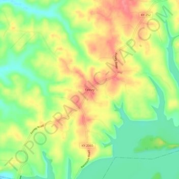
Name: Finney topographic map, elevation, terrain.
Location: Finney, Barren County, Kentucky, United States (36.89532 -86.12498 36.93532 -86.08498)
Average elevation: 187 m
Minimum elevation: 147 m
Maximum elevation: 230 m