
Mbaale topographic map
Interactive map
Click on the map to display elevation.
About this map
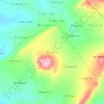
Name: Mbaale topographic map, elevation, terrain.
Location: Mbaale, Jinja, Eastern Region, Uganda (0.61866 33.25042 0.65866 33.29042)
Average elevation: 1,184 m
Minimum elevation: 1,107 m
Maximum elevation: 1,317 m