
高村镇 topographic map
Interactive map
Click on the map to display elevation.
About this map
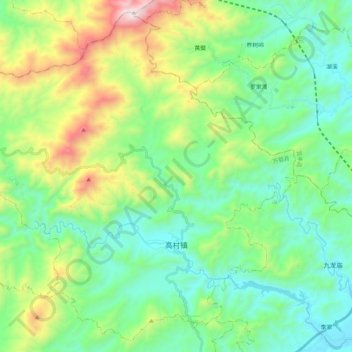
Name: 高村镇 topographic map, elevation, terrain.
Location: 高村镇, 万载县, 宜春市, 江西省, 中国 (28.29197 114.29729 28.46344 114.50592)
Average elevation: 441 m
Minimum elevation: 91 m
Maximum elevation: 1,379 m
Other topographic maps
Click on a map to view its topography, its elevation and its terrain.