
Montrose topographic map
Interactive map
Click on the map to display elevation.
About this map
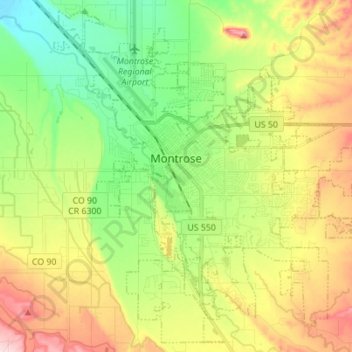
Name: Montrose topographic map, elevation, terrain.
Location: Montrose, Montrose County, Colorado, 81401, USA (38.42147 -107.92429 38.52387 -107.78599)
Average elevation: 1,803 m
Minimum elevation: 1,700 m
Maximum elevation: 1,953 m