Geolocate

Rieda topographic map

Click on the map to display elevation.

About this map

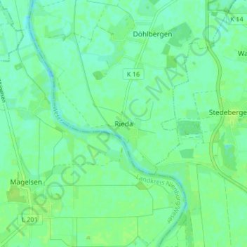
Name: Rieda topographic map, elevation, terrain.

Location: Rieda, Verden (Aller), Landkreis Verden, Niedersachsen, Deutschland (52.86553 9.17469 52.90553 9.21469)

Average elevation: 14 m

Minimum elevation: 9 m

Maximum elevation: 18 m

Other topographic maps

Click on a map to view its topography, its elevation and its terrain.

Gear up for your next adventure:

🪑Portable Backpacking Chairs - A comfortable seat for studying maps at the end of the day
🦟Insect Repellent - Protection against insects
🥤Outdoor Water Bottles - Reusable bottles for outdoor activities
🔋Solar Power Banks - Solar chargers for outdoors
🧥Down Jackets - Insulated jackets for cold weather

As an Amazon Associate, this site earns from qualifying purchases at no extra cost to you.