Geolocate

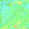
Bacao topographic map

Click on the map to display elevation.

About this map

Name: Bacao topographic map, elevation, terrain.

Location: Bacao, Nanning, Guangxi, China (23.71386 108.14853 23.75386 108.18853)

Average elevation: 243 m

Minimum elevation: 154 m

Maximum elevation: 487 m

Other topographic maps

Click on a map to view its topography, its elevation and its terrain.
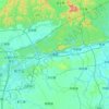
Heng County

China > Guangxi > Nanning

Average elevation: 135 m

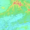
Qingxiu District

China > Guangxi > Nanning

Average elevation: 140 m

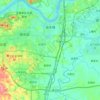
Xingning District

China > Guangxi > Nanning

Average elevation: 191 m

Liangqing

China > Guangxi > Nanning

Average elevation: 98 m

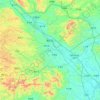
Long'an County

China > Guangxi > Nanning

Average elevation: 255 m

Yongning District

China > Guangxi > Nanning

Average elevation: 118 m

Gear up for your next adventure:

🧰Survival Kits - Essential survival gear
🎧Bluetooth Outdoor Earbuds - Listen to navigation cues or podcasts during long solo treks
🕶️Polarized Sunglasses - UV protection sunglasses for outdoors
🚴Bike GPS - GPS devices for cycling
📸Action Cameras - Record your journey across interesting topographic features in 4K

As an Amazon Associate, this site earns from qualifying purchases at no extra cost to you.