
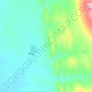
Hamen topographic map
Interactive map
Click on the map to display elevation.
About this map
Name: Hamen topographic map, elevation, terrain.
Location: Hamen, Meagher County, Montana, VS (46.28966 -110.72076 46.32966 -110.68076)
Average elevation: 1,718 m
Minimum elevation: 1,642 m
Maximum elevation: 1,944 m