
思丁错 topographic map
Interactive map
Click on the map to display elevation.
About this map
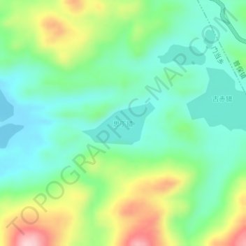
Name: 思丁错 topographic map, elevation, terrain.
Location: 思丁错, 门当乡, 班戈县, 那曲市, 西藏自治区, 中国 (31.46350 89.87025 31.46825 89.87975)
Average elevation: 4,774 m
Minimum elevation: 4,700 m
Maximum elevation: 4,930 m