Geolocate

Liang topographic map

Click on the map to display elevation.

About this map

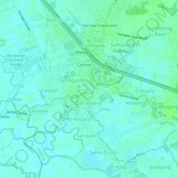
Name: Liang topographic map, elevation, terrain.

Location: Liang, Malolos, Bulacan, Central Luzon, 3000, Philippines (14.82583 120.79472 14.86583 120.83472)

Average elevation: 4 m

Minimum elevation: 1 m

Maximum elevation: 8 m

Gear up for your next adventure:

🔪Outdoor Multi-tools - Versatile tools for gear repair and survival tasks in the wilderness
👄SPF Lip Balm - Prevent sun and wind-burnt lips on mountain ridges
🦯Trekking Poles - Walking poles for hiking stability
📱Shockproof Phone Cases - Extra protection for your smartphone against drops on rocky terrain
📕Hiking Guide Books - Guides for hiking trails

As an Amazon Associate, this site earns from qualifying purchases at no extra cost to you.