
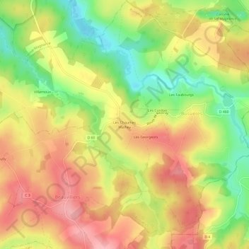
Les Chaumes Mathey topographic map
Interactive map
Click on the map to display elevation.
About this map
Name: Les Chaumes Mathey topographic map, elevation, terrain.
Average elevation: 357 m
Minimum elevation: 288 m
Maximum elevation: 413 m
Other topographic maps
Click on a map to view its topography, its elevation and its terrain.
Bussières
France > Bourgogne-Franche-Comté > Yonne > Bussières
Bussières, Avallon, Yonne, Bourgogne-Franche-Comté, France métropolitaine, 89630, France
Average elevation: 356 m