
Capel Trisant topographic map
Interactive map
Click on the map to display elevation.
About this map
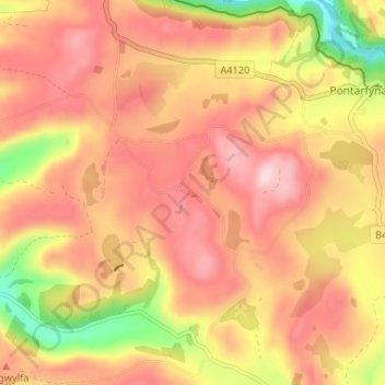
Name: Capel Trisant topographic map, elevation, terrain.
Location: Capel Trisant, Ceredigion, Wales, SY23 4RH, United Kingdom (52.34508 -3.90630 52.38508 -3.86630)
Average elevation: 261 m
Minimum elevation: 86 m
Maximum elevation: 368 m