
Hackensack topographic map
Interactive map
Click on the map to display elevation.
About this map
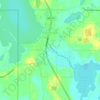
Name: Hackensack topographic map, elevation, terrain.
Location: Hackensack, Cass County, Minnesota, United States (46.91442 -94.53309 46.93624 -94.49690)
Average elevation: 423 m
Minimum elevation: 414 m
Maximum elevation: 439 m
Other topographic maps
Click on a map to view its topography, its elevation and its terrain.
Birch Lake
United States > Minnesota > Cass County > Hackensack
Birch Lake, Hackensack, Cass County, Minnesota, United States
Average elevation: 425 m