Rhinelander topographic map
Click on the map to display elevation.
Rhinelander
Rhinelander has a warm-summer humid continental climate (Köppen: Dfb). Because of its location, it is prone to Arctic cold snaps, and without the western Föhn winds its winter average is lower than other places in the US at 45 °N even at high elevations. Summers tend to be cooler with some degree of Lake Superior and Lake Michigan influence. Precipitation is still relatively distributed but not as much as other humid climates in the country.
About this map
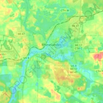
Name: Rhinelander topographic map, elevation, terrain.
Location: Rhinelander, Oneida County, Wisconsin, 54501, United States (45.59492 -89.50180 45.66587 -89.36994)
Average elevation: 482 m
Minimum elevation: 462 m
Maximum elevation: 518 m
Other topographic maps
Click on a map to view its topography, its elevation and its terrain.