
Mweya topographic map
Interactive map
Click on the map to display elevation.
About this map
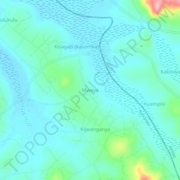
Name: Mweya topographic map, elevation, terrain.
Location: Mweya, Mubende, Central Region, Uganda (0.66333 31.88000 0.70333 31.92000)
Average elevation: 1,184 m
Minimum elevation: 1,154 m
Maximum elevation: 1,338 m