
Frank topographic map
Interactive map
Click on the map to display elevation.
About this map
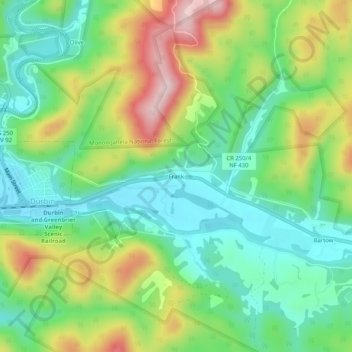
Name: Frank topographic map, elevation, terrain.
Location: Frank, Pocahontas County, West Virginia, 24920, VS (38.52845 -79.82561 38.56845 -79.78561)
Average elevation: 926 m
Minimum elevation: 822 m
Maximum elevation: 1,107 m