Geolocate

Gempol topographic map

Click on the map to display elevation.

About this map

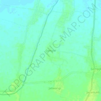
Name: Gempol topographic map, elevation, terrain.

Location: Gempol, Karawang, West Java, Java, Indonesia (-6.31470 107.53009 -6.27470 107.57009)

Average elevation: 12 m

Minimum elevation: 7 m

Maximum elevation: 20 m

Gear up for your next adventure:

🕯️Emergency Whistles - Safety whistles for hiking
🔦Headlamps - Hands-free lighting for hiking
🐍Australian Snake Bite Kits - Specific pressure immobilization bandages for Australian venomous snakes
🔥Camping Stoves - Portable stoves for outdoor cooking
🚁Camera Drones with GPS - Capture aerial views of the landscape to compare with topo maps

As an Amazon Associate, this site earns from qualifying purchases at no extra cost to you.