
Ouse topographic map
Interactive map
Click on the map to display elevation.
About this map
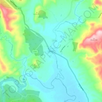
Name: Ouse topographic map, elevation, terrain.
Location: Ouse, Tasmania, Australia (-42.52471 146.67096 -42.44471 146.75096)
Average elevation: 162 m
Minimum elevation: 72 m
Maximum elevation: 445 m
Other topographic maps
Click on a map to view its topography, its elevation and its terrain.