
Timah Tasoh Reservoir topographic map
Interactive map
Click on the map to display elevation.
About this map
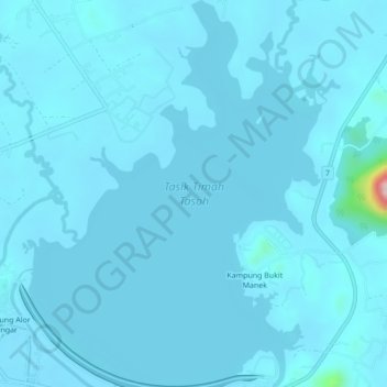
Name: Timah Tasoh Reservoir topographic map, elevation, terrain.
Location: Timah Tasoh Reservoir, Perlis, Malaysia (6.56446 100.20585 6.60721 100.24181)
Average elevation: 32 m
Minimum elevation: 22 m
Maximum elevation: 291 m
Other topographic maps
Click on a map to view its topography, its elevation and its terrain.