Geolocate

Zeewolde topographic map

Click on the map to display elevation.

About this map
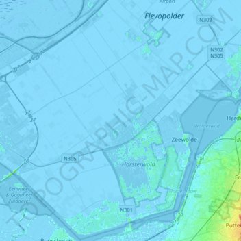
Name: Zeewolde topographic map, elevation, terrain.

Location: Zeewolde, Flevoland, Netherlands (52.24953 5.30124 52.44266 5.62302)

Average elevation: -2 m

Minimum elevation: -9 m

Maximum elevation: 29 m

Gear up for your next adventure:

🔦Powerful LED Headlamps - Hands-free lighting for night navigation and setting up camp after dark
🧊Insulated Stainless Steel Flasks - Keep water cold for 24 hours in the heat or coffee hot in the cold
📻Handheld UHF Radios - Critical communication for groups in the Australian outback
🥤Hydration Packs - Hydration systems for hiking
🛰️Handheld GPS Units - Rugged GPS devices for tracking coordinates and elevation in the Australian bush

As an Amazon Associate, this site earns from qualifying purchases at no extra cost to you.