
Río Manzano topographic map
Interactive map
Click on the map to display elevation.
About this map
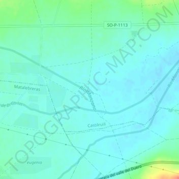
Name: Río Manzano topographic map, elevation, terrain.
Location: Río Manzano, Castilruiz, Soria, Castilla y León, España (41.85812 -2.02571 41.86534 -2.00504)
Average elevation: 967 m
Minimum elevation: 957 m
Maximum elevation: 1,007 m