
Chréa topographic map
Interactive map
Click on the map to display elevation.
About this map
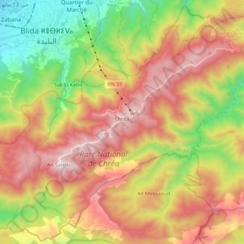
Name: Chréa topographic map, elevation, terrain.
Location: Chréa, Daïra Ouled Yaïch, Blida, Algérie (36.36968 2.81930 36.48055 2.97850)
Average elevation: 872 m
Minimum elevation: 164 m
Maximum elevation: 1,618 m