Geolocate

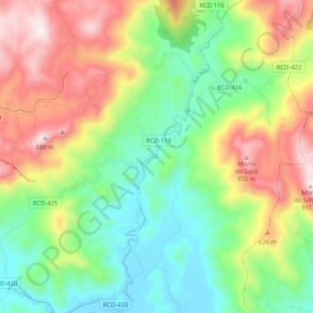
Rio Ada topographic map

Click on the map to display elevation.

About this map
Other topographic maps

Click on a map to view its topography, its elevation and its terrain.

Rio Rosina

Brasil > Santa Catarina > Rio dos Cedros

Average elevation: 648 m

Pedra Preta

Brasil > Santa Catarina > Rio dos Cedros

Average elevation: 819 m

Rio Herta

Brasil > Santa Catarina > Rio dos Cedros

Average elevation: 625 m

Alto Cedros

Brasil > Santa Catarina > Rio dos Cedros

Average elevation: 714 m

Gear up for your next adventure:

📕Hiking Guide Books - Guides for hiking trails
⌚Altimeter Barometer Watches - Outdoor watches with built-in sensors to track altitude changes and weather shifts
📡Satellite Messengers - Emergency communication devices
⌚Altimeter Watches - Watches with altitude tracking
🧥Down Jackets - Insulated jackets for cold weather

As an Amazon Associate, this site earns from qualifying purchases at no extra cost to you.