
Situ Gintung topographic map
Interactive map
Click on the map to display elevation.
About this map
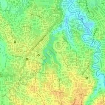
Name: Situ Gintung topographic map, elevation, terrain.
Average elevation: 44 m
Minimum elevation: 25 m
Maximum elevation: 57 m
Other topographic maps
Click on a map to view its topography, its elevation and its terrain.
Cireundeu
Indonesia > Banten > South Tangerang
Cireundeu, Ciputat Timur, South Tangerang, Banten, Java, 15419, Indonesia
Average elevation: 43 m