
Hilltop topographic map
Interactive map
Click on the map to display elevation.
About this map
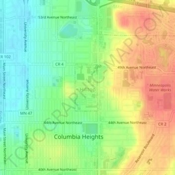
Name: Hilltop topographic map, elevation, terrain.
Location: Hilltop, Anoka County, Minnesota, United States (45.04996 -93.25259 45.05721 -93.24753)
Average elevation: 285 m
Minimum elevation: 256 m
Maximum elevation: 317 m