
Fire topographic map
Click on the map to display elevation.
About this map
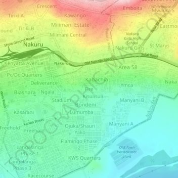
Name: Fire topographic map, elevation, terrain.
Location: Fire, Nakuru, Kenya (-0.31032 36.06377 -0.27032 36.10377)
Average elevation: 1,832 m
Minimum elevation: 1,758 m
Maximum elevation: 1,968 m