Geolocate

Dvor topographic map

Click on the map to display elevation.

About this map

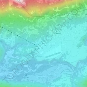
Name: Dvor topographic map, elevation, terrain.

Location: Dvor, Bovec, 5230, Slovenia (46.31392 13.52240 46.35392 13.56240)

Average elevation: 566 m

Minimum elevation: 350 m

Maximum elevation: 1,628 m

Gear up for your next adventure:

🔥Camping Stoves - Portable stoves for outdoor cooking
🖼️Scratch-off Australia Map - Track the regions and peaks you have explored geographically
💧Personal Water Filters - Drink safely from streams and lakes identified on your map
👖Convertible Hiking Trousers - Zip-off legs to adapt to changing temperatures throughout the day
📚Map Reading & Navigation Guides - Master the art of interpreting topographic contours and symbols

As an Amazon Associate, this site earns from qualifying purchases at no extra cost to you.