
Omate topographic map
Interactive map
Click on the map to display elevation.
About this map
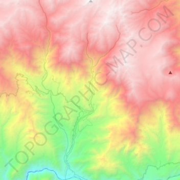
Name: Omate topographic map, elevation, terrain.
Location: Omate, Provincia de General Sánchez Cerro, Moquegua, Perú (-16.76937 -71.05098 -16.51259 -70.89586)
Average elevation: 3,336 m
Minimum elevation: 1,193 m
Maximum elevation: 5,241 m